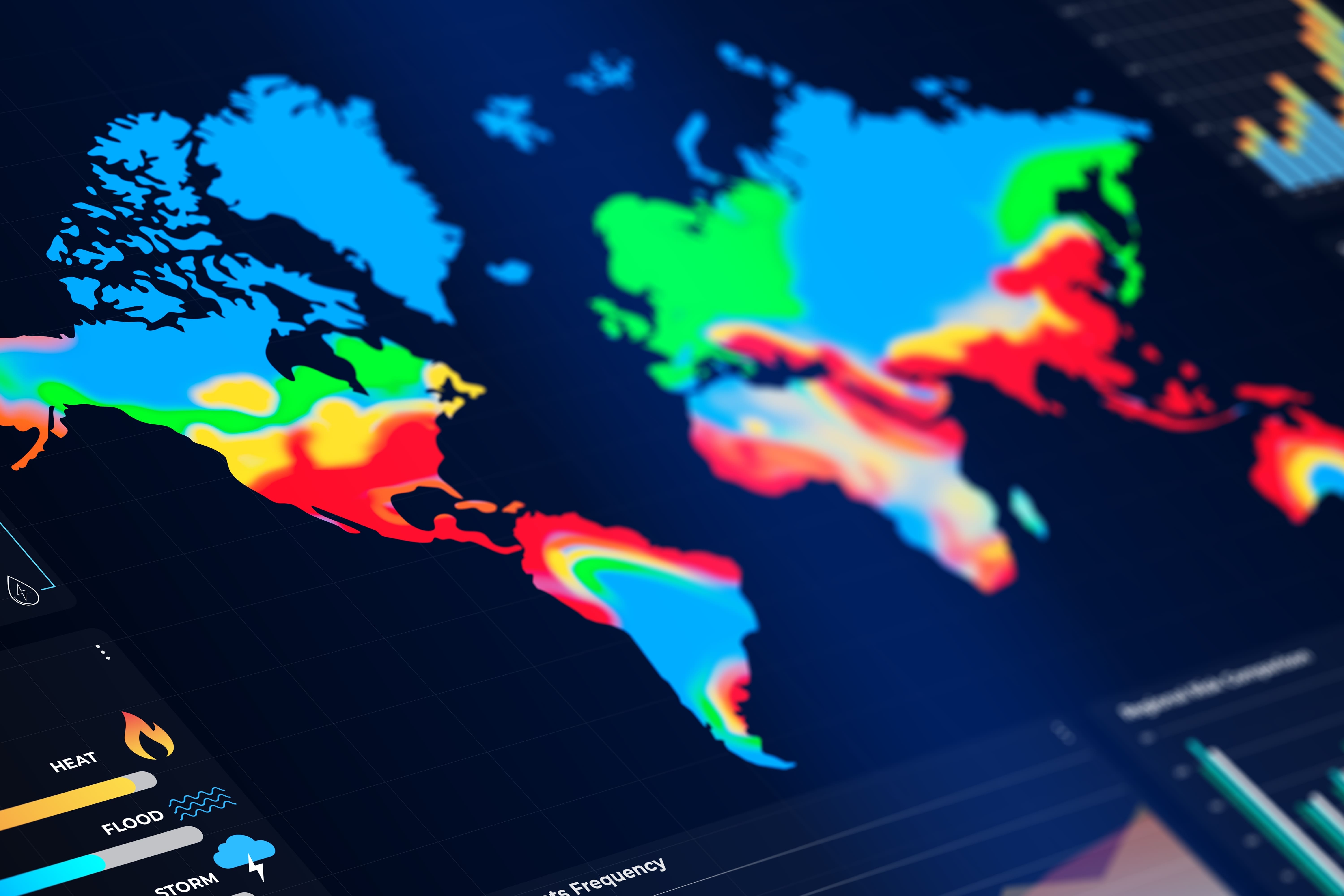
The annual Geographic Information Systems (GIS) Day provides an opportunity to reflect on the growing importance of Geographic Information Systems (GIS) in the way we observe, interpret and manage the world around us. By combining geographical data with tools for analysis and visualisation, these systems allow us to examine the distribution of natural and human phenomena, identify relationships between different variables and understand how processes evolve across space and time.
The relevance of geospatial information extends well beyond cartography. From the monitoring of ecosystems and the assessment of climate-related risks to territorial planning and the management of natural resources, the possibility of associating information with a precise geographical dimension represents an increasingly important asset for scientific research and public decision-making. As the volume and complexity of available data continue to grow, the integration of geospatial information with advanced computing and modelling capabilities is also expanding the scope of what can be observed, analysed and anticipated.
The European Union's Destination Earth (DestinE) initiative offers a particularly relevant example of this technological evolution. Through the development of a digital twin of the Earth system, DestinE brings together Earth observation data, advanced numerical modelling, artificial intelligence and high-performance computing, with the ambition of providing a more comprehensive understanding of the processes governing our planet and their possible future developments.
It is worth clarifying that Destination Earth is not a Geographic Information System (GIS) in itself. Rather, it operates within a broader technological framework that brings together Earth observation, advanced modelling, artificial intelligence and high-performance computing. Its relationship with geospatial technologies lies in the integration and analysis of geographically referenced information, which provides an important foundation for understanding environmental processes and exploring their possible future developments.
The geographical dimension of Earth system modelling
The contribution of GIS technologies to environmental research lies, first and foremost, in their capacity to organise and interpret information according to its geographical distribution. By enabling the analysis of spatial relationships and the representation of phenomena across different scales, they provide researchers and decision-makers with tools to investigate how environmental conditions vary between territories and how changes in one area may be connected to developments elsewhere.
Destination Earth operates within a broader technological framework, in which geographical information is integrated with advanced Earth system modelling and simulation. Its digital twins are designed to reproduce relevant components of the Earth system with a high level of detail, allowing users to investigate environmental processes and explore possible scenarios associated with climate change and extreme weather events.
The relationship between these approaches is therefore not merely a matter of visualising geographical data. Rather, it concerns the possibility of combining spatial information, scientific modelling and computational capabilities to achieve a more detailed interpretation of environmental phenomena. While geospatial technologies help establish where specific processes take place and how they affect different territories, digital twins make it possible to investigate their dynamics, interactions and potential evolution.
Such capabilities are particularly relevant when considering the territorial implications of climate change. The effects of rising temperatures, extreme precipitation or prolonged droughts, for instance, are not distributed uniformly across geographical areas. Their intensity and consequences depend on a combination of environmental, geographical and socioeconomic factors, making the availability of detailed data and advanced analytical tools essential to understanding local vulnerabilities and assessing possible responses.
From scientific data to practical applications
An important aspect of Destination Earth concerns the development of an environment in which scientific data and advanced computational resources can be accessed and used by a broad range of stakeholders. Its Core Service Platform, Data Lake, Digital Twin Engine and Digital Twins form the technological infrastructure through which users can explore datasets, access services and modelling capabilities, and develop applications responding to specific research or operational needs.
The potential applications extend across several domains, including climate research, environmental monitoring, infrastructure resilience and disaster risk management. Public authorities, researchers and infrastructure operators may, for example, use more detailed information on environmental conditions and potential future scenarios to assess territorial vulnerabilities, examine adaptation measures and improve their capacity to prepare for extreme events.
The value of this approach lies not only in the availability of increasingly sophisticated models, but also in the possibility of bringing together different sources of information within a shared digital environment. By connecting observations, simulations and analytical tools, DestinE contributes to a more integrated understanding of the Earth system, in which individual phenomena can be examined in relation to the wider processes of which they form part.
The initiative thus illustrates how geospatial information and digital twin technologies can complement one another, extending the possibilities offered by conventional geographical analysis through advanced simulation and predictive capabilities.
Through its involvement in Destination Earth, Trust-IT Services contributes to the initiative's communication, dissemination and engagement activities, working alongside EJR Quartz and Serco under the coordination and oversight of the European Space Agency (ESA). In particular, Trust-IT supports the communication of DestinE's objectives, developments and opportunities, helping make its activities and results accessible to scientific, policy and innovation communities.
Looking ahead
The growing complexity of environmental challenges makes the ability to interpret geographical information, understand interconnected processes and assess possible future developments increasingly important.
GIS technologies have long provided essential tools for observing and analysing the spatial dimension of these challenges. The development of initiatives such as Destination Earth is extending this capacity, combining geographical information with advanced modelling and computing to investigate not only how the Earth system is evolving, but also how it might respond to different future conditions.
The challenge ahead will concern not only the continued development of these technologies, but also their effective use by the scientific community, public authorities and other stakeholders. After all, a more accurate digital representation of our planet becomes truly valuable when the knowledge it generates can contribute to a better understanding of the territories we inhabit and to more informed decisions about their future.