Brief description
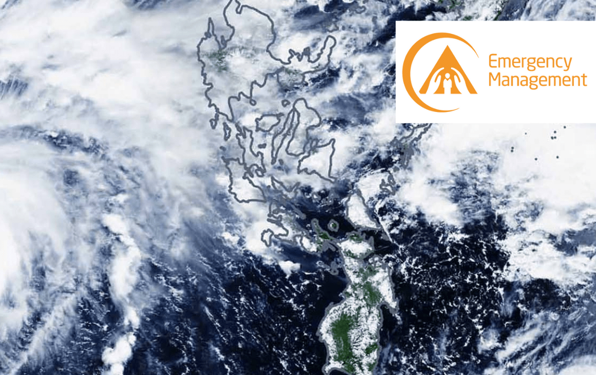
EFAS is part of the prestigious European Centre for Medium-Range Weather Forecasts (ECMWF). The European Flood Awareness System (EFAS), provides overviews on ongoing and forecasted floods in Europe with up to 10 days advance notice. The current EFAS system provides its stakeholders twice-daily early probabilistic flood forecasts of the highest quality through a web portal. Its aim is to provide useful, complementary, and shared information on upcoming floods to regional and national hydrological institutes whose responsibility is to communicate flood warning globally.
Our Role
We developed the new MapViewer Web Application of the new web portal of the European Flood Awareness System (EFAS).
The MapViewer is made up of an advanced Map Viewer that allows different types of users to analyse geographical data supporting the whole management cycle for floods.
The viewer at the heart of the application allows users to display data and perform the analysis by searching and comparing across multiple datasets..
It has been developed with an eye to address the user needs, hence considerable effort went into the the user interface and User eXperience (UX) and offers a modern User Interface (UI) which is fast, interoperable and optimized for both fixed and mobile devices (smartphone / tablet).
We are continuously improving the EFAS MapViewer to enhance the service and the user journey, implementing new functionalities and providing technical assistance and maintenance related to the EFAS MapViewer and EFAS Public Website.
Impact
In particular, the new EFAS platform allows end-users to have:
- a better experience, thanks to its highly customizable, intuitive and interactive interface;
- enhanced accessibility to EFAS datasets, both through the UI and through standard protocols (Data and Geographical Data Sets, THREDDS , TDS, OPeNDAP, OGC WMS WMS-T and WCS, HTTP, and other remote data access protocols);
- access to spatial/temporal datasets through standard OGC services;
- access to historical databases of past forecasts and forecast performance;
- access to multimedia material, including videos, photos, charts and press releases.

Want to know more and learn how we can help you with your project?
Fill in the form and get in touch!